Operational Scenario · Sabah Electricity (SE) Service Area
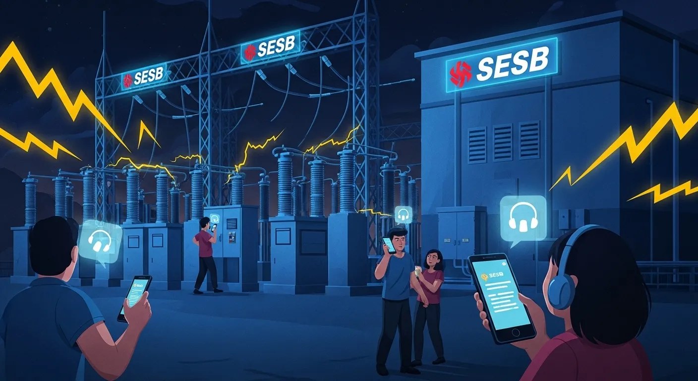
Sabah Electricity (SE) Outage Reporting
Turning vague customer reports into usable field locations
Executive Summary
Sabah Electricity Sdn Bhd rebranded to Sabah Electricity, commonly shortened to SE. For outage reporting, the operational problem remains practical: customers often describe affected places using kampung names, house references, road turns, and nearby landmarks.
Those descriptions can be clear to the customer but still incomplete for a control room or field crew. KodLokasi gives each report a district-coded, 10 m location reference that can be shared through the Careline, customer service channels, work orders, and field coordination.
The Challenge: Turning Reports into Field Work
Utility Area
Sabah
Wide service coverage
Report Channel
15444
SE Careline
Main Challenge
Location
Field reference
Timeline of Events
Outage Reported
A customer reports a power outage through SE customer service channels
Location Clarification
The report includes a kampung name, nearby shop, road bend, or transformer description, but not a clean field point
Crew Handoff
Dispatch still has to translate the description into a location that repair crews can find and record
The Location Identification Problem
Common customer descriptions can be useful, but they still leave room for interpretation:
Power is out near the old shop lots
The pole is behind our kampung road junction
The issue is near the government office, before the bridge
The KodLokasi Solution
Imagine a Different Scenario
A customer reports an outage and includes one KodLokasi code: SBKK.24.17X. From that code, SE can see Sabah, Kota Kinabalu, and a 10 m location cell. The same reference can follow the report from customer service to dispatch and field crew.
1. District Context
The "SBKK" prefix identifies Sabah and Kota Kinabalu, so the report begins with administrative context
2. Precise Field Point
The "24.17" grid reference points to a specific 10 m x 10 m cell instead of a broad neighbourhood or landmark
3. Cleaner Work Order
Customer service, dispatch, and field teams can carry the same code through the ticket instead of rewriting directions
4. Better Pattern Detection
Nearby reports can be grouped by location so teams can distinguish a single-house issue from a wider feeder or transformer problem
Projected Impact with KodLokasi
Without KodLokasi
- ×Customer describes the area by landmarks
- ×Operator asks follow-up questions to locate the issue
- ×Crew receives directions that may need local interpretation
- ×Nearby reports are harder to group confidently
- ×Work order location depends on free-text notes
With KodLokasi
- ✓Precise 10 m x 10 m location reference
- ✓District context visible in the code
- ✓One shared reference from report to field work
- ✓Clearer grouping of nearby outage reports
- ✓Less dependence on landmark-based explanations